Environment Canada has issued a Winter Storm Warning for much of the Southern Ontario region which is going to make it’s way into the region from the Southwest between 3 and 8 p.m. Today and is expected to last until some time on Saturday morning.
The Warnings, with alternate totals in brackets, read:
Significant winter storm with dangerous travel conditions beginning late this afternoon or early evening.
Hazards:
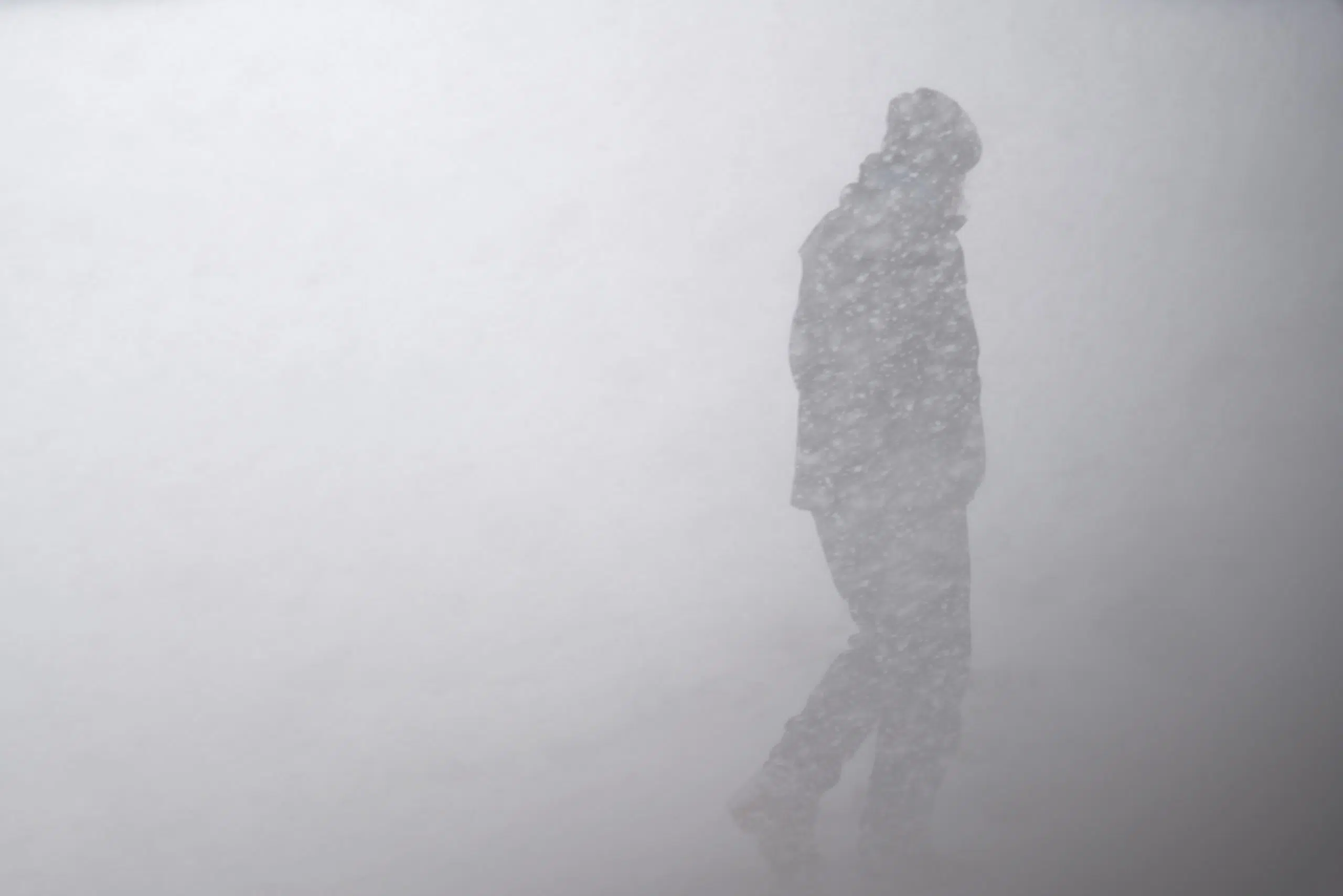
Significantly reduced visibility due to heavy snow and blowing snow.
Total snowfall accumulations of 15 to 25 cm. (Or 20-30 cm.)
Snowfall rates of 4 to 6 cm/h possible. (Or 5 to 8 cm/h)
Rapidly accumulating snowfall creating hazardous travel conditions.Timing:
Late this afternoon into Saturday morning. The most dangerous conditions are expected this evening when snowfall rates may be 4 to 6 cm/h (5 to 8 cm/h) at times.Discussion:
A Texas low is expected to bring heavy snow and strong winds to a large swath of southern Ontario. Snow will begin late this afternoon or early this evening and quickly become heavy at times. Heavy snow in combination with strong easterly winds will create significantly reduced visibility and hazardous travel conditions.Surfaces such as highways, roads, walkways and parking lots may become difficult to navigate due to accumulating snow. Prepare for quickly changing and deteriorating travel conditions. Visibility will be suddenly reduced to near zero at times in heavy snow and blowing snow. If visibility is reduced while driving, turn on your lights and maintain a safe following distance.


Comments